We left North Dakota and headed southwest into Montana, the Big Sky state. We had some big distances to drive over the next week-and-a-half, and we built in some way-station stops. The first of these was the Little Bighorn Battlefield National Historical Park, site of "Custer's Last Stand." While in earlier days the focus of the park was on the fate of Custer's troops, in more recent years they've tried to strike more of a balance by also highlighting the story of the Native Americans (including Sitting Bull and Crazy Horse) who fought against the Army.
Overlooking the prairie ridge where the battle took place, there are a monument and gravestones of the U.S. Army troops. What we learned in the visitor center was that many of the remains (including Custer's) were actually exhumed in succeeding decades and relocated elsewhere.
About 200 feet away, there is another memorial (built in the last 20-30 years) to Native Americans, including a shadow sculpture of three natives warriors on horseback and a native woman giving a shield to one of them. The monument was circular with 4 passages to the interior where granite walls were inscribed with quotes from famous chiefs and lists of the warriors that fell that day. One of the entrances was specifically oriented to face the US Army memorial so as to allow the spirits of the US Army fallen to have access to the sacred circle.
The next day was a driving day, taking us to Great Falls, Montana. After dinner, we drove to Giant Springs State Park, where a beautiful natural spring pours 150 million gallons of water per day into the Missouri River, which is just yards away.
The following day we drove northwest to a campground outside the west entrance of Glacier National Park, a park we'd visited in 2019. The park is VERY popular, and to help improve the visitor experience the NPS has instituted a ticketed entry system, allowing only so many people in between 6 am and 5 pm. We had managed to snag a ticked about two months previously on Recreation.gov, which covered us for up to seven days entry.
The iconic Going to the Sun Road, which winds through the park and up and over Logan Pass, was not yet opened (they were still clearing snow) so to visit both sides of the park we had to drive an hour-and-a-half around the bottom of the park. On our arrival day, we hiked to the Stony Point overlook of Lake McDonald, a glacier-carved lake on the west side of Logan Pass. The hike wound through an area of the park that had burned more than 15 years ago. It's always amazing to see how quickly nature recovers from these disasters.
The next day we drove to the park's eastern side, which opens onto the Blackfoot reservation. We drove along St. Mary's Lake (another glacier-carved lake), and hiked through another section of formerly burned forest to see two beautiful waterfalls. At the bottom of the trail, we ran into three artists who were painting one of the waterfalls, with their bear spray close at hand.

We also took an iconic Glacier NP photo of St. Mary's Lake with Wild Goose Island sitting in front of the mountain peaks.

We came back out the park entrance and drove south to another area of the park on Two Medicine Lake (yes, glacier-carved also), an area of the park where the two of us did a three day hike up to and along the Continental Divide in 1983 before we were married. It was late in the day, so we contented ourselves by hiking a mile-long trail to a beautiful gravel beach along the lake.

On our third day in the area, we drove up to land owned by our friends of some 40 years, Patti and Dave Hegland. Nominally retired, they have an amazing glass-making business in Chestertown, Maryland, and their Hegland Glass pieces have won many awards and been exhibited at the Smithsonian. The Heglands have 20 acres of land just west of Glacier National Park and about 10 miles south of the Canadian border. We first visited their cabin in 1988 just after our eldest son Tory was born. Unfortunately, that cabin was destroyed in a wildfire in 2003. They have a book of pictures of the aftermath of the fire, and have kept a cast iron skillet that sort-of-survived the fire.
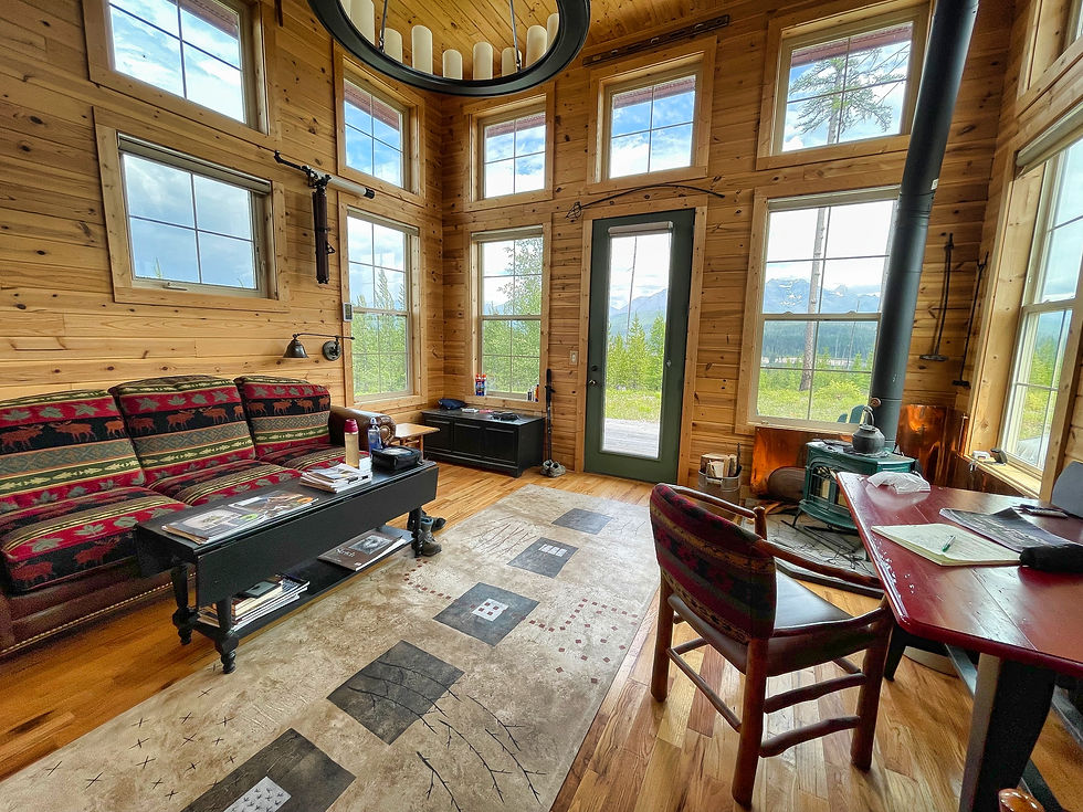
They built a new cabin, and that was the one we visited. It's beautiful, powered by solar power and propane. We'd hoped to meet them there but we couldn't coordinate our schedules.


The fire opened up beautiful views of the mountains to the east, and we spent time sitting on their front deck taking in the vista.


On our last full day in the park, we drove as far into west side of the park as we could, stopping for views of the mountains reflected in Lake McDonald.

We hiked the Trail of the Cedars nature trail through old-growth forest, and the beginning of the trail up to Avalanche Lake (which we'd hiked in 2019) far enough to see the canyon carved out by rushing water with its smoothed curves. The spray wets the forest and covers the floor with moss. We considered completing the rest of the hike, but cracks of thunder warned us against that, and so we spent the rest of the day listening to rain on the RV roof back at the campground.
We were less than a week from our Alaska ferry departure, and it was again time for us to move west.
We drove southwest to Spokane, WA (passing through - but not stopping in - "Famous Potatoes" Idaho) and visited with our friends Betsy Jewett and Rick Gill on their beautiful home on the Spokane River. Betsy was Jeannette's maid-of-honor in 1984, and it was nice to catch up on old times and delve into newer happenings over dinner.

Spokane (and much of Washington state) was in the midst of an unprecedented heat wave, with temperatures nearing 100 the day we were there, and slated to increase to 110 the next day.
For us, the next day was a travel day, crossing Washington to its western side and setting up camp near Mount Rainier National Park. We were on man-made Alder Lake, created by a 300 foot high dam owned by Tacoma Power.
We had all Sunday to explore Mount Rainier. It got to 108 at our campground, but fortunately the temperatures were about 15 degrees lower up on the mountain. At the Paradise Visitor Center, there was still snow on the ground, but a minor river of snowmelt was running through the parking lot to the delight of small children reveling in the flowing water.

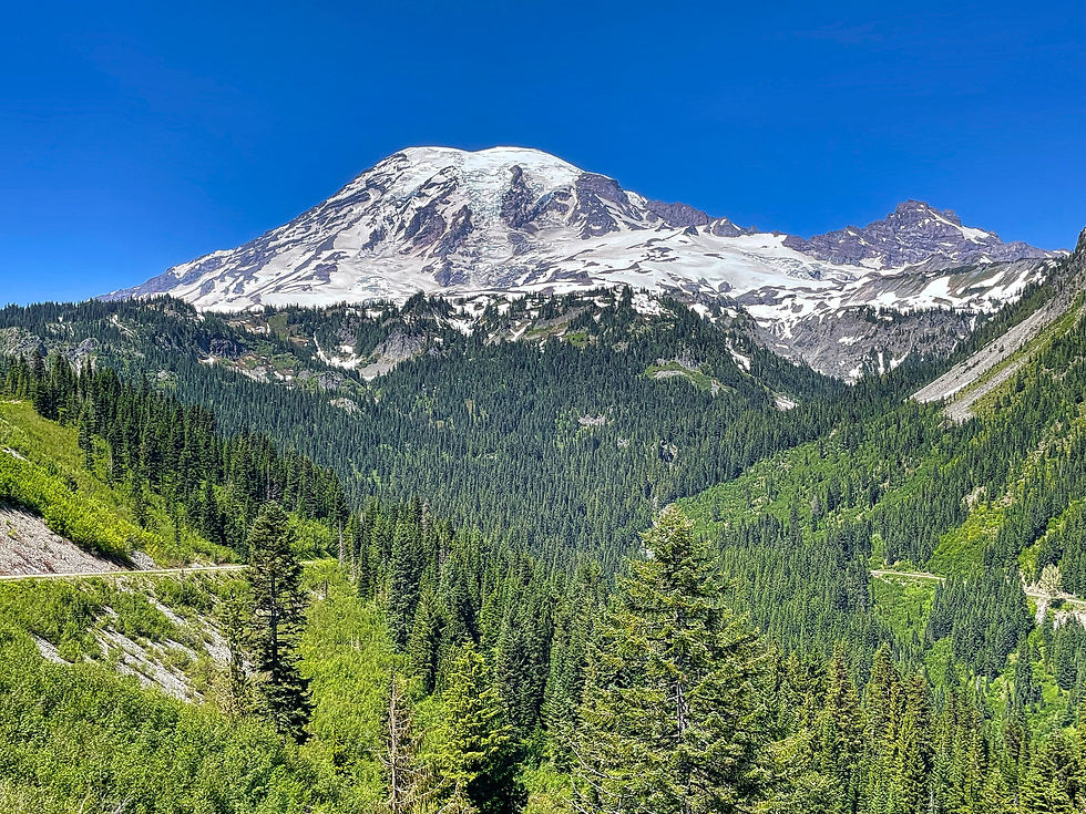
Mount Rainier is a massive volcano, easily visible from 50-75 miles away, and dominates the eye as you drive around the park, the park road often hugging the side of steep cliffs. The volcano (and others like it such as Mount Baker, Mount Shasta, Mount St. Helens, and Mount Hood) broke right through the surrounding Cascade Mountains when they first erupted.


While in the Paradise area, we decided to do some snow hiking in shirt sleeves and shorts! Others were getting in some skiing in similar summer attire.

The view from Reflection Lake was broken up by still-melting ice and snow.

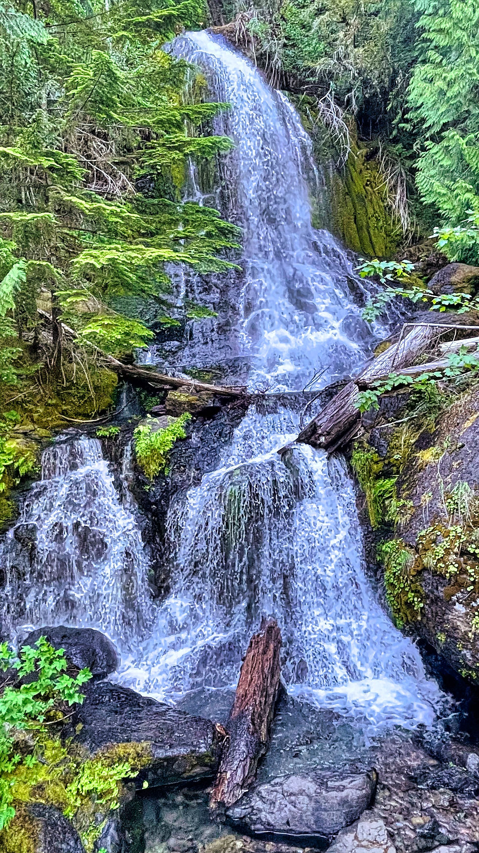
Streams and waterfalls were also running quite full with snow melt.


Further down the mountain, we visited the Grove of the Patriarchs, ancient Douglas Firs, Hemlocks, and Red Cedars that were 500-1000 years old. And massive! It's always a treat to visit these old-growth forests, which we do not have in the East.
Fallen trunks and root systems showed you how big the trees could be, and some rotting logs had sprouted new trees of their own.


To get to the grove, you needed to cross a suspension bridge, and only 1-2 people were allowed across at a time. There was a considerable backup for the bridge.
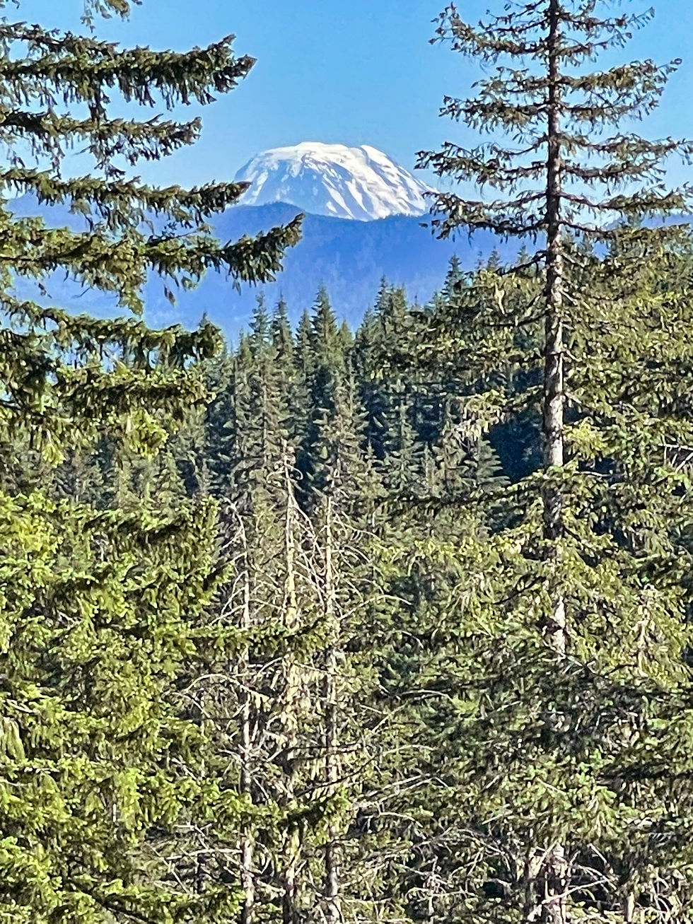
At a roadside pull-off on the way back to our campground, we had a view of Mount St. Helens in the distance.

The next day, we broke camp and headed to the port town of Anacortes, Washington, north of Seattle, where we set up in a campground.
The next morning, we boarded a ferry for a day visit to San Juan Island, the most populous of the San Juan Islands that dot Puget Sound.


We'd visited Orcas Island, another of the San juans, in 2019 during our first visit to Washington state.
Our first stop was a lavender farm. The plants were not yet at full bloom, probably needing a few more weeks to peak.

The farm had a number of exhibits on lavender, and we got to see the distiller where they make essential oils and other products.

We moved to Lime Kiln State Park on the western side of the island, where you can see Victoria, British Columbia in the distance.

Moving on to the local lighthouse, which also doubles as a whale watch and listening station, we learned that the resident orca pod has made itself increasingly scarce in recent years, and that during 2020 there was only a 4% chance of seeing orcas on any given day. This does not match the advertising for San Juan Island, which features numerous orca sitings.

Based on this calendar board of recent whale sitings we found inside the lighthouse, 2021 was not turning out any better.

We continued our circuit of the island, visiting English Camp, part of the San Juan Islands National Historical Park that commemorates the "pig war" of 1865. When Britain and the U.S. settled on the 49th parallel as the border between America and Canada, it left the fate of the San Juans unsettled. A dispute about a pig killing brought this to the surface, and for 12 years British troops and American troops set up camp on opposite ends of the island. Fortunately, there was no fighting during that time, and the dispute ended when a German arbitrator found in favor of the U.S. owning all the San Juan Islands.
At the park, there are just a few buildings, and a lovely English garden.
At the north end of the island, near Roche Harbor, we toured an outdoor sculpture garden featuring local artists. Many of the pieces were for sale (although we're not sure how you would get them home).
We drove back to Friday Harbor (the main town on the island) and had a great meal al fresco before boarding the ferry for our return to Anacortes.

June 30th had arrived, so we drove about 30 miles north of Anacortes to Bellingham, Washington, where we put the Ciaowagen, the Fittata, and the two of us onto the ferry for Alaska.
More about that in our next blog post!


Comments